
Reading Fairfield Neighbors by Block
An immediate Fairfield block is easiest to study as a set of address records, not as a ready-made list of people. The CT Metro GIS Viewer II places an address among adjacent parcel polygons. Vision links a Fairfield parcel to an assessed owner and mailing address. The state voter lookup can confirm a registration record or polling context, but a protected address can display NOT registered. The town's Fairfield neighborhood inventory supplies civic names and listed organizational contacts. Historical directories and Fairfield Museum files add time depth, not proof of current occupancy.
| Source | What It Shows About a Block | Access |
|---|---|---|
| Fairfield CT Metro GIS Viewer II and parcel service | Adjacent parcels, IDs, streets, and map layers | Free public viewer with Identify, Query, and Export |
| Fairfield Vision property cards | Owner, mailing address, assessment, and parcel fields | Free public property search |
| Fairfield voter records | Registration, party, polling, and district context | State lookup, local registrar, or written file request |
| Fairfield neighborhood associations | Civic names and organizational contact leads | Town inventory and listed organization sites |
| Fairfield historical directories and house files | Past address and household context | Library or Museum research access |
Each Fairfield source answers a different question. GIS shows which polygons touch or sit near a starting parcel. Vision is an assessment snapshot and may carry a distant mailing address. A voter record belongs to the registration system and its dates. An association name points to a civic network, not every household. Historical material can show a Fairfield address at publication time. Treat a Fairfield block result as dated clues with named custodians.
Mapping Fairfield Neighbors by GIS Block
Fairfield's public GIS Viewer II is informational and may be out of date. It is not a legal survey or title source. The companion Fairfield parcel REST service lists Address Number, Parcel Label, Parcels, and Streetname layers. Other documented Fairfield layers cover zoning, historic districts, wetlands, easements, utilities, sewers, FEMA flood material, and aerial basemaps from 1934 through 2024. No documented radius tool was located, so an immediate neighbor search is a careful click-out from the known parcel.
Use the Fairfield address as a starting pin, not a radius command. Keep the Fairfield map role separate from the record role:
- Locate the address in GIS, then use Identify on its parcel polygon and note the street label.
- Click each adjacent polygon and copy its parcel ID, map/lot or GIS number, and any source date shown.
- Check the Vision card for owner, mailing address, account, Mblu or PID, assessment, and sale-history fields. None proves occupancy.
- If title matters, search the SearchIQS Fairfield land-record index by current or prior party, date, instrument, or book/page.
- Ask the Fairfield Town Clerk in person about older books, certifications, or images missing online. Stop when the record does not support a stronger claim.
When the question expands from adjoining parcels to every address on a named road, use the Fairfield street directory workflow. The Fairfield block method is narrower: it records the parcel IDs that touch the starting parcel, then checks what each custodian says about those IDs.
Fairfield Neighbor Parcel IDs by Address
Parcel labels let two Fairfield systems meet. A Fairfield Vision card can carry a situs address, Map ID, Vision ID, account, GIS number, map/lot, owner, mailing address, land and building categories, appraised and assessed totals, sale history, and prior assessments. The sample 145 Grasmere card shows why field names matter: it includes Map ID 101B, Vision ID 11354, account 14974, GIS 1303570000, map/lot 00130 00357 00000, and an LLC owner with a mailing address. That is an assessment record, not a resident list.
Use the same Fairfield terms when comparing a GIS click with a parcel card:
- Situs address
- The physical location used to key a parcel, not the address used for mail.
- Parcel ID
- A map/lot, GIS, account, Mblu, PID, or related number that identifies the tax parcel.
- Mailing address
- The notice address in an assessment record. It does not prove who occupies the parcel.
- Owner
- The name shown in the tax card or related record, which can be an entity rather than a person.
Record the Fairfield Grand List or print date beside every card. For a Fairfield card question, the Fairfield Tax Assessor's office is at Old Town Hall, 611 Old Post Road, phone 203-256-3110. A parcel can change hands while an older card remains useful only for its own date.
Fairfield Neighbors and Voter Records by Address
Voter data is close to a block, but its purpose is registration, not a census. The Fairfield Registrars of Voters maintain more than 41,000 voter records, RTM-district street listings, and polling maps. The office lists phone 203-256-3115 at Old Town Hall, 611 Old Post Road, with hours Monday, Wednesday, and Friday from 8:30 AM to 2 PM, and Tuesday and Thursday from 8:30 AM to 4:30 PM. The Connecticut lookup uses town, last name, first name, and date of birth, and can return registration, party, and polling information.
For broader Fairfield analysis, SOTS LEAD accepts a written full-file request at PO Box 150470, Hartford, CT 06115, by email at LEAD@ct.gov or phone at 860-509-6100. Research notes list a $300 charge, paid before release. Ask for the file version, fields, geography, and delivery format. The public file can include registration status, party, year of birth, past participation, in-person or absentee indicators, and district fields. Month and day of birth are not public under PA 26-1 section 96, and towns update participation history within 60 days.
The Connecticut voter privacy program can suppress a Fairfield name and address when disclosure threatens safety. The public result may show NOT registered. Do not use GIS, deeds, associations, or another record to reverse that result.
Fairfield Neighborhood Association Leads
The town's official Fairfield neighborhood page is a contact inventory, not a membership directory, legal subdivision map, or universal boundary rule. It names 25 groups and place-based organizations, including Beaumont Area, Brooklawn Park, College Park, Fair Acres, Fairfield Beach Peninsula, Greenlawn-Oakwood, Ludlowe Park, Mill Plain, Mill River-Brookside, Old Post Road, Pine Creek, Stratfield Village, Sunniholme, and Tanaka Park. Hoydens Hill is listed inactive. These names are useful search terms for a Fairfield GIS layer, directory volume, or local history file.
Listed groups are best treated as Fairfield outreach points. Fairfield Beach Residents, Greenfield Hill Village Improvement Society, and Lake Hills each have an organization site named by the town's research trail. No public member roster, full bylaws, official parcel-boundary file, or universal membership rule was located. A contact is not proof that the person speaks for every Fairfield address.
The Town of Fairfield neighborhood associations page shows the official Fairfield list that anchors these local place names.
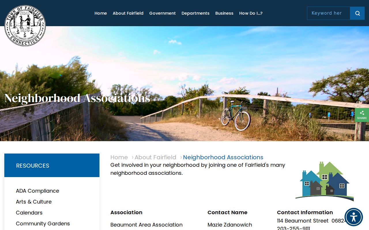
The Fairfield capture helps locate an organization, but it does not turn an association name into a parcel boundary or resident roster.
| Association or group | Documented contact route | What the lead means |
|---|---|---|
| Fairfield Beach Residents | FBRA website | Organizational contact, not a public member list |
| Fairfield Greenfield Hill Village Improvement Society | GHVIS website | Community lead, not a legal district boundary |
| Fairfield Lake Hills | Lake Hills Association website | Association lead, with no public roster located |
| Fairfield Beaumont Area, Southport, Stratfield, Mill Plain, and other listed groups | Town inventory and its listed contacts | Place names for follow-up, not proof of affiliation |
Fairfield Neighbors and Business Records Near a Block
A Fairfield block can include a business or parcel with a public entity trail, but that trail does not become a household identity. The Fairfield Connecticut Business Registry accepts a business name, ALEI, or filing number. Results can show a Business ID, principal, agent, date formed, entity type, and street, city, state, and ZIP address. Annual reports and filing history may be available as PDFs, while records more than 15 years old may be offline.
The registry capture is a surrounding Fairfield identity layer, not a live Fairfield result. Use the documented fields, then check the returned Fairfield filing and date before tying a business record to a Fairfield parcel.
The official Business Registry search provides the portal view captured for that identity layer.
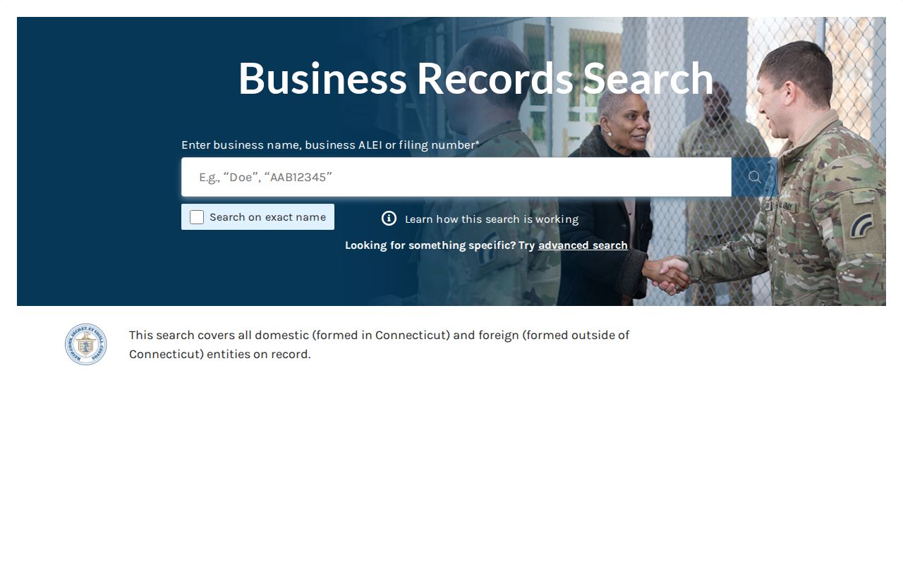
The image captures the portal's loaded or error state, so it should not be read as a confirmed current filing. Fairfield Town Clerk trade-name certificates are a separate Fairfield local assumed-name route, and no standalone indexed trade-name search was located.
Fairfield Neighbors, Blocks, and Old Aerials
A map label and a neighborhood name do different work. Fairfield's list includes Fairfield Beach Peninsula, Sasquanaug Conservancy for Southport, Greenfield Hill Village Improvement Society, Stratfield Village, Mill River-Brookside, and South Benson-Jennings Beach. They are useful search terms for a block, directory, or history file, but they are not legal parcel layers. The Connecticut State Library's Fairfield aerial collection from 1931 to 1933 is cataloged as 13 folders and six negatives, giving a dated view to compare with a current parcel map. Southport and Greens Farms can also appear in postal or historical material, while a regional directory may use Bridgeport when a modern searcher expects Fairfield.
Fix the address before relying on the label. Confirm the postal city and ZIP after the parcel is fixed, then read an association or directory entry as a dated local reference. Fairfield's older town territory extended beyond today's limits, so an old family reference to Fairfield may require a historical jurisdiction check.
Fairfield Neighbors: Official vs Commercial Records
Fairfield official rolls and commercial neighbor-lookup tools serve different purposes. A public custodian identifies the record system, date, field, and access rule. A commercial service may combine public sources, licensed data, user-submitted material, or older files, then return a name-and-address match that is hard to audit. It may charge for deeper results. Neither category, by itself, proves that a person currently occupies a Fairfield parcel.
| Source type | Useful for | Limits |
|---|---|---|
| Fairfield official GIS, Vision, Town, or voter records | Parcel geometry, dated fields, assessment owner or mailing data, registration and polling context | Not a title survey, occupancy certificate, or way around a privacy suppression |
| Fairfield commercial neighbor tools | A quick lead across mixed data sets | Source date, provenance, cost, and correction route may be unclear; verify with the custodian |
For a Fairfield block question, the useful chain stays narrow: parcel polygon, parcel ID, assessment card, recorded instrument only when title matters, then a dated civic source if access allows. Keep a Fairfield source note for every match and preserve different roles when systems disagree.
Privacy Boundaries for Fairfield Neighbors
Connecticut separates Fairfield public access from safe publication. The voter privacy program can shield a Fairfield name and address when disclosure threatens safety, while Address Confidentiality Program/Safe at Home uses a substitute mailing address for eligible survivors. These are separate protections. A protected or substitute address must not be republished or reverse-engineered, and a suppressed voter result must not be treated as an invitation to search elsewhere.
The Connecticut Data Privacy Act can give access, correction, deletion, copy, and opt-out rights when a covered controller and exception rules apply. It does not create a route to erase a lawful Fairfield deed, voter record, court docket, or assessment card. If disclosure or contact efforts become threatening, stop and use an advocate, court, law enforcement, or counsel. CGS section 53a-181d addresses second-degree stalking, and CGS section 52-571l provides a civil action and injunction route related to disclosure of Fairfield records.
Lawful use. Fairfield neighbor research is for personal, lawful purposes such as understanding a Fairfield block, reconnecting, family history, or safety awareness. Do not use a record to stalk, harass, intimidate, or expose a protected person.